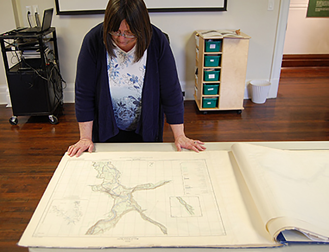
The Revelstoke Museum & Archives has acquired a kind of Map of Ages — ages long past… long before the development of RMR, before the Trans-Canada Highway, before the construction of Columbia Park, the Revelstoke Generating Station, the airport and other features that we now take for granted. Created in the 1940s the maps show a Revelstoke and its environs from the time before the Columbia River Valley was flooded. David F. Rooney photo By David F. Rooney Think of it as a kind of Map of Ages — ages long past… long before the development of RMR, before the Trans-Canada Highway, before the construction of Columbia Park, the Revelstoke Generating Station, the airport and other features that we now take for granted. Revelstoke Museum & Archives Curator Cathy English said the large portfolio of colour maps were acquired by Jackie Morris who contributed them to the archives. They’ll join the museum’s archive of about 150 maps that she would like to have scanned and saved as digital documents. These particular topographical maps have already been scanned to a DVD.
Jackie said the maps show the entire Canadian Columbia River system and its major tributaries, before they were flooded for the Columbia River Treaty reservoirs. Most maps show only the valley bottom and a few topo lines on the side of the valley. The topographical maps are at the scale of 1 inch to 1/2 mile, or 1:31,680. Maps were compiled in 1949 and 1951 as per this information, which appears in the bottom corner of each map sheet. That’s within many Revelstokians’ lifetimes but they describe a landscape that has been either drowned forever or altered so as to be almost unrecognizable.
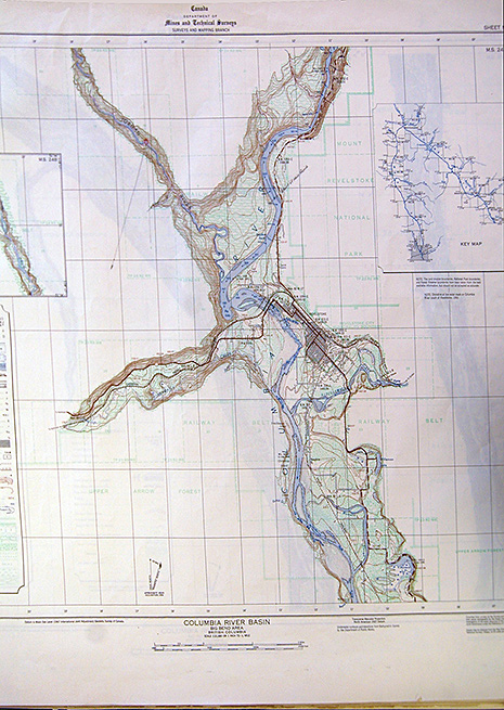
An index of the maps for the entire region appears on the first page of the printed portfolio. Each map also has a partial index showing the location of the map relative to other nearby maps. The following map sheets encompass areas close to Revelstoke:
Map sheets 20, 21, 22, 24 — Revelstoke, south of Revelstoke to Upper Arrow Lakeand Beaton.
This portfolio is open to the public to see, but please careful and don’t get anything on them! Recognize this city? It’s ours, of course, but from way back when before the Trans-Canada Highway, before the construction of Columbia Park, the Revelstoke Generating Station, the airport and other features that we now take for granted. Please click on this image to see a larger version in PDF format. David F. Rooney photo