Arrowhead. It’s a town site south of Revelstoke that may be slowly fading from our collective memory, although not from the memory of those people who were born there and who saw it drowned beneath the waters of the Upper Arrow Reservoir.
Arrowhead. It’s rarely visited, although some families still bury loved ones in its overgrown and untended graveyard.
Arrowhead. Its ruins still exist and now two reports catalogue what remains of the once thriving railway and steamboat town.
“It’s fading from memory,” says Michael Morris of the Arrowhead Conservation Society. “I think it’s fair to say that most people have never been there.”
The society has just released two reports on what remains at Arrowhead. One is about the cultural artefacts and the other is on the non-native plant species that can be found at Arrowhead. The reports are available in PDF format from the Revelstoke Museum & Archives website at www.revelstokemuseum.ca in the Arrowhead section.
The assessments were initiated by the Arrowhead Conservation Society and accomplished through funding from the Columbia Basin Trust.
Arrowhead was established in 1895 about 60 km south of Revelstoke on the north east shore of Arrow Lake. It was at the upper limit of year-round paddle wheeler navigation on the Columbia River and with a rail connection Revelstoke, it was the transportation hub for the settlers, miners, and loggers of the Kootenays accessing the main line of the Canadian Pacific Railway.
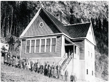
The 1911 census revealed that 497 persons lived there. They were a diverse group of English, Irish, Scottish, Manx, Welsh, Japanese, Chinese, Norwegian, Swedish, Austrian, German, East Indian, French, Slovak, Belgian, Dutch, and Danish origin. The town had a large sawmill, hotels, stores, a school, and hospital.
The community went in to decline as the mines closed. The last paddle wheeler in service, the SS Minto, made its final trip in 1954. The town site was abandoned in the 1960s with the inundation of the valley by the Hugh Keenleyside Dam at Castlegar, a consequence of the Columbia River Treaty between Canada and the United States.
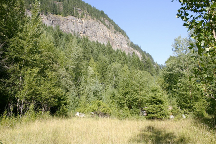
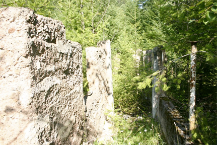
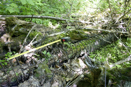
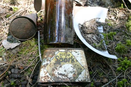
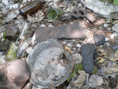
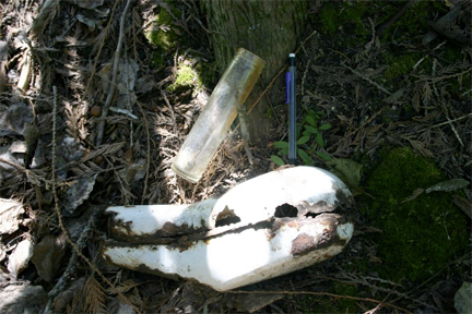
Today there is little to see. None of the original buildings are still standing, although some concrete foundations remain. There is a cemetery with headstones, which is still used for the occasional burial by families whose roots are sunk deep in Arrowhead’s past. The location of some streets can still be discerned with the help of the town site map. The railway bed and some rock structures are still evident when the Arrow Reservoir is low. These physical remains, and the artefacts found, are inventoried in the report written for the society by Horizon Heritage Consulting.
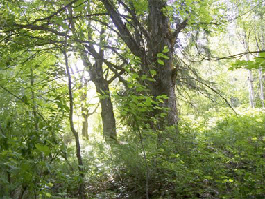
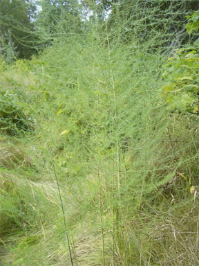
Just as interesting is the way that many domesticated plants, including large non-native trees, dominate portion of the town site. The native forest has regenerated over much of the site, but many of the the enduring flowers, garden vegetables, shrubs and trees from Arrowhead’s long-vanished gardens continue to thrive. They are catalogued in a separate report for the society by Jenny Coleshill and Rolf Hartman.
Archival materials, including a cemetery map and about 50 photographs can be viewed at the Revelstoke Museum and Archives. Contact Curator Cathy English at 250-837-3067, or revelstokemuseum@telus.net.
The Arrowhead Conservation Society is a registered non-profit organization focused on recognizing Arrowhead and other lands along the Revelstoke Reach as significant heritage and conservation areas. Access to Arrowhead is by water only. Anyone interested in visiting the site should contact the Arrowhead Conservation Society by mail:
Arrowhead Conservation Society, P.O. Box 643, Revelstoke, B.C., V0E 2S0.
